3 Millimeters
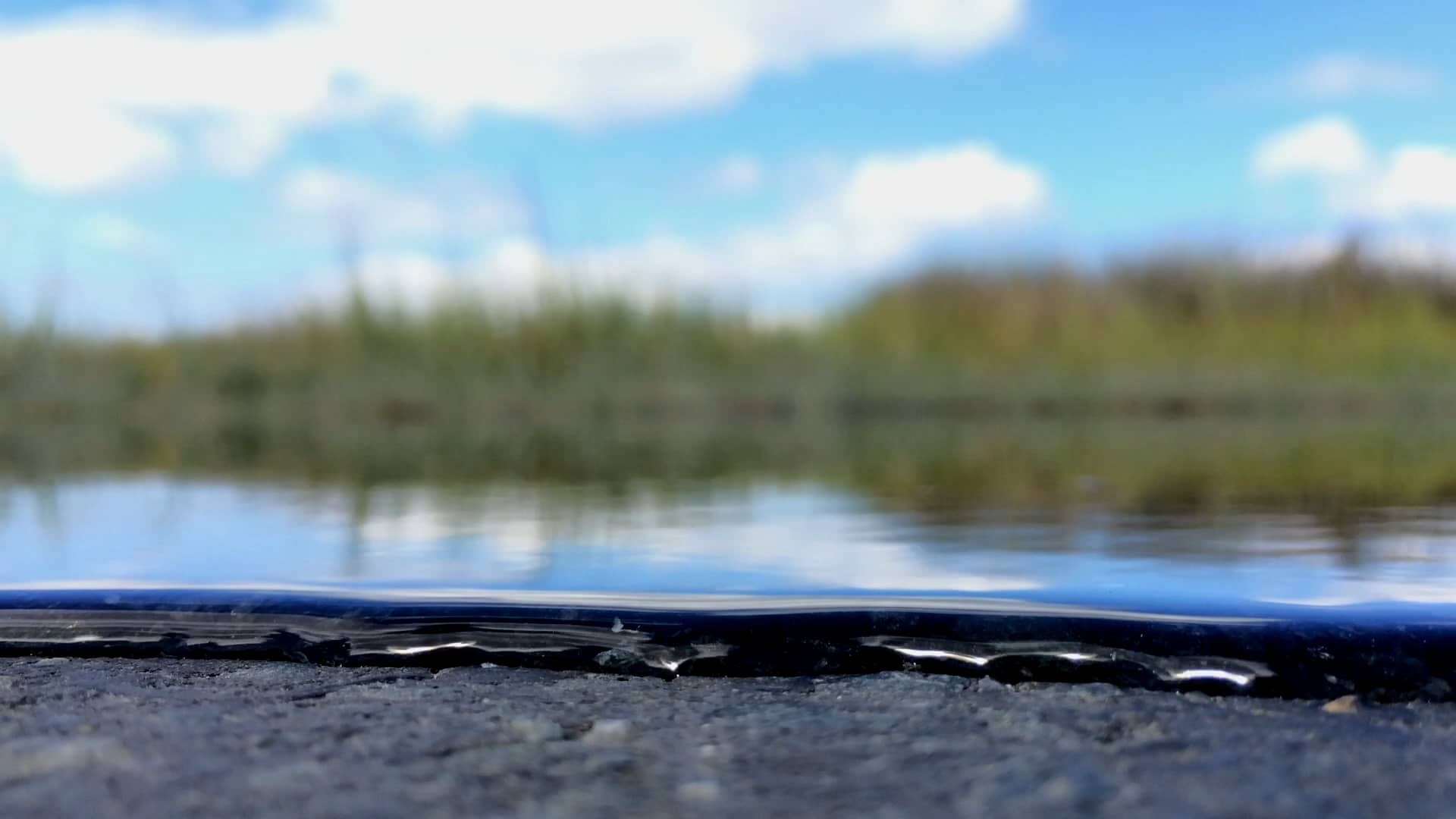
On Maryland's rural Eastern Shore, residents, wildlife, and the land itself is undergoing profound changes due to rising sea levels that are projected to continue for hundreds of years.
A project by Greg Kahn
A Sea Change
Between 1939 and 1940 the entirety of Maryland's tidal shoreline was measured by hand. The official numbers used by the National Oceanic and Atmospheric Administration put Maryland's shoreline at 3,190 miles—an extraordinary figure and only slightly less than California. But this was a gross underestimate, as the Maryland Geological Survey utilized aerial imagery in 2003 and revealed that Maryland's tidal shoreline — the land bordering the Chesapeake Bay, its tributaries, the coastal bays, and the Atlantic coast — revealed the Maryland shore to be 7,719 miles in length, roughly the equivalent of Louisiana and Florida.
Rising seas levels due to glacial melting, thermal expansion, and ocean currents, in combination with slowly subsiding land around the Bay (the land is still settling from the tumult of the last Ice Age), have swallowed 13 of the lower Chesapeake's islands, many once inhabited. Meanwhile, sea levels in the state continue to rise twice as fast as the global average. This rate is projected to increase by as much as two feet in the next 30 years and up to five feet or more by the end of this century, threatening not just the shorelines of the Eastern Shore, but an entire history and way of life in one of the first areas first settled by Europeans in North America. At the Blackwater National Wildlife Refuge near Cambridge, Maryland, models show that more than half of Dorchester County, geographically the state's third-largest county, will be underwater by the end of this century.
Much of the Eastern Shore — most urgently, the lower counties of Dorchester, Wicomico, Somerset, and Worcester, which includes Ocean City and Assateague Island National Park—are already being impacted by rising seas, erosion, tidal flooding, and storm surges. So, too, are western shore towns in Anne Arundel, Harford, and eastern Baltimore counties, along with Baltimore's Inner Harbor and Annapolis's City Dock, which now floods more than 50 times a year at high tide.
Inevitably, much of the shoreline that Captain John Smith explored in 1608 that would eventually become considered quintessential "Maryland", including state treasures such as Blackwater National Wildlife Refuge, Assateague Island, Point Lookout State Park, and Crisfield (once known as the Seafood Capital of the World) will be lost. Landmarks, too, such as Harriet Tubman's birthplace, along with other historic Black and Native American sites, face the risk. Today, the question isn't what will be lost anymore. The question is what Maryland can save.
A decade in the making, the 3 Millimeters project focuses on what climate change and sea-level rise will mean to the people, the land and the economy of coastal Maryland.


Introduction by
Ron Cassie
Map by
Gwen Mckay and Ella Hartshorn